SENTIERO DEGLI DEI
SENTIERO DEGLI DEI
Walking from Praiano
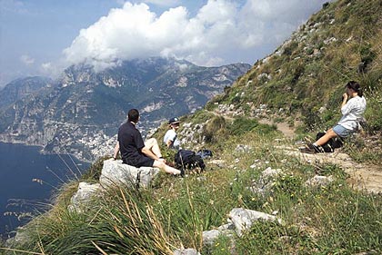 For
nature lovers and hikers you must not miss the pristine paths of the Amalfi Coast.
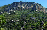
The Lattari Mountains, up to Campanella Point, constitute a territory that is one of the
most suggestive and celebrated of the world. It is an impressive show and imposing view of
precipitous cliffs above the "pending waves".
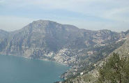
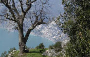
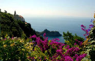
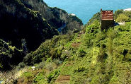
The area of the Lattari mountains provides a hike that can offer a unique vacation experience: the itinerary unwinds in the silence of the mountainous calm, with scenery of haunting panoramas, far from the coastal congestion and the ribbon of asphalt highways.
The trails run across places of incomparable beauty, rich with history and culture, and are not particularly difficult: Hikes can accommodate all levels, even those with a minimum of experience.
Groups of young people that are nature lovers organize ecological walks for interested tourists to rediscover the origins of the earth and the sea. The walks lead over paths where the colors, the perfumes and the odors have lost each real relationship with nature, the mother nature.
Il Sentiero degli Dei
Path of the Gods -
VIDEOCLIP
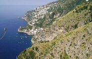
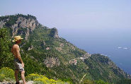
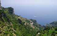
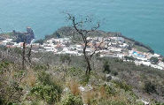
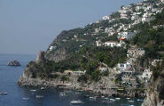
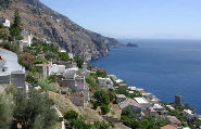
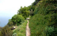
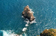
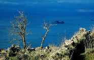
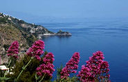
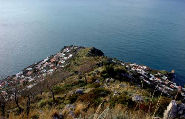
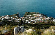
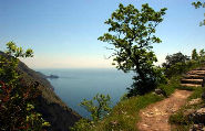
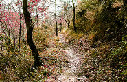
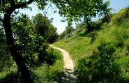
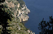
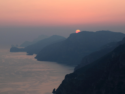
Billed as "The Path of the Gods" this route lives up to its name
with dramatic views of a rugged coastline, and distant sightings as far as the island of
Capri. Allow 4h30 mins walking time.
Agerola buses take you from Amalfi to Bomerano. On the bus, having driven up innumerable
hairpin bends and reached the level ground of the Agerola plain, to get to Bomerano main
square, alight at the third bus stop (Say to the driver "Per favore, ci può far
scendere alla fermata per Bomerano?" to get him to put you down there.) Turn left up
a narrow road for 200m/yds to the main square.
From Praiano you
can also choose to meet the Sentiero degli Dei about 500m downhill from
Colle Serra, via the Convent of San Domenico.
If you walk up from Praiano, it's worth walking a couple of hundred metres
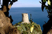
towards Bomerano, beyond Colle Serra, as far as the pinnacolo with the
marble plaque in memory of Giustino Fortunato, the economist who named the
Path.
To start the walk, facing Bomerano
church, take the narrow road going left out of the square (faded sign ŒVia Penina¹;
red/white sign Route 27). The road descends, passes under a road bridge and,after
200m/yds, becomes concrete then stone steps. At the foot of the steps, turn right over a
narrow footbridge and climb rough concrete steps up to a road. Turn left and follow the
road for 500m/yds to its end below Grotta Biscotto, cave containing some medieval animal
pens. A mule track now takes you on the level with dramatic views for 1km to Colle la
Serra a junction of wide tracks by a crucifix on the garden wall of a white house.
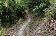
With your back to this house, pick up orange/red dot waymarks following the narrow path
that ascends straight ahead. Then it bends up left away from an abandoned building. The path
soon levels off among terraces. The waymarks are your guide for the next two hours as you
make way across a wild mountainside, either on the level or with a gently descending
tendency, always with the slope up to your right. The orange/red dots are quite frequent
so, if you have not seen one for about 50m/yds, retrace your steps to where you last saw
one. Be alert when passing through bushes. Eventually you enter Nocelle on a level path by
houses. The path turns left down to a shrine and water tap in the centre of the village.
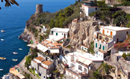
Continue on the level path and out of the village on a level path overlooking a ravine. This leads to a motor road and beyond down to Monte Pertuso. In Monte Pertuso enter the piazza on the mountain side of the road. From its far left corner, take the alley going half left. After 250m/yds of gentle ascent, go left down steps, cross the road, and continue down, turning right after just 10m/yds. Broad steps now take you down to the first houses in Positano and a T-junction. Turn left for 100m/yds to a footbridge. Cross this and descend to the main road. Go left for 20m/yds for the steps down to the centre of Positano.
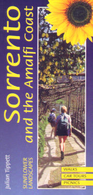 The world-famous Amalfi coast, Positano, Ravello, the Island of
Capri and Sorrento; these are names to conjure with, evoking prospects of hedonistic days
by the Mediterranean sea of Ulysses and the Sirens. Lazy time spent exploring the piazzas,
piers and bars of the towns and villages is one thing, but there is more. A wonderful
network of ancient footpaths connects the towns with each other and the surrounding
countryside, letting you saunter among terraced vineyards and lemon groves or out onto
wild rugged hillsides, always regaled by the most stunning of views. On these paths you
meet people tending vines or gardening or whatever, who will acknowledge you in the
friendliest of manners, making you feel a part of the scene.
So how do you enjoy these delights? "Landscapes of Amalfi..." contains over 70
walks to suit all abilities, either starting at your resort or easily reached by one of
the frequent local busses. The walks form a network which covers the whole region, so no
matter where you are there will be something for you. As you walk, you will bump into
fellow walkers perhaps doing the same walk in the reverse direction. And for those too
hot, lazy days, there are suggestions for outings to be made by bus or boat.
Already into its second edition, feedback to date suggests that the walk directions are
accurate and easy to follow. Each of the six regions has a schematic walk planner to make
compiling an itinerary easy, and full bus timetables cut down on research time.
Julian Tippett first came to the area in 1991 after taking retirement, looking for a project. What better than to have to revisit the coast many times researching the many nooks and byways of this delightful region? A first small guide to just Amalfi and Ravello came out in 1991, self-published, to be followed by the first edition of this guide in 1995. He can be reached on ju@tippett.free-online.co.uk
The book is published by Sunflower Books, London, UK cost £9.99. Copies may be ordered from Sunflower Books on their website: www.sunflowerbooks.co.uk


